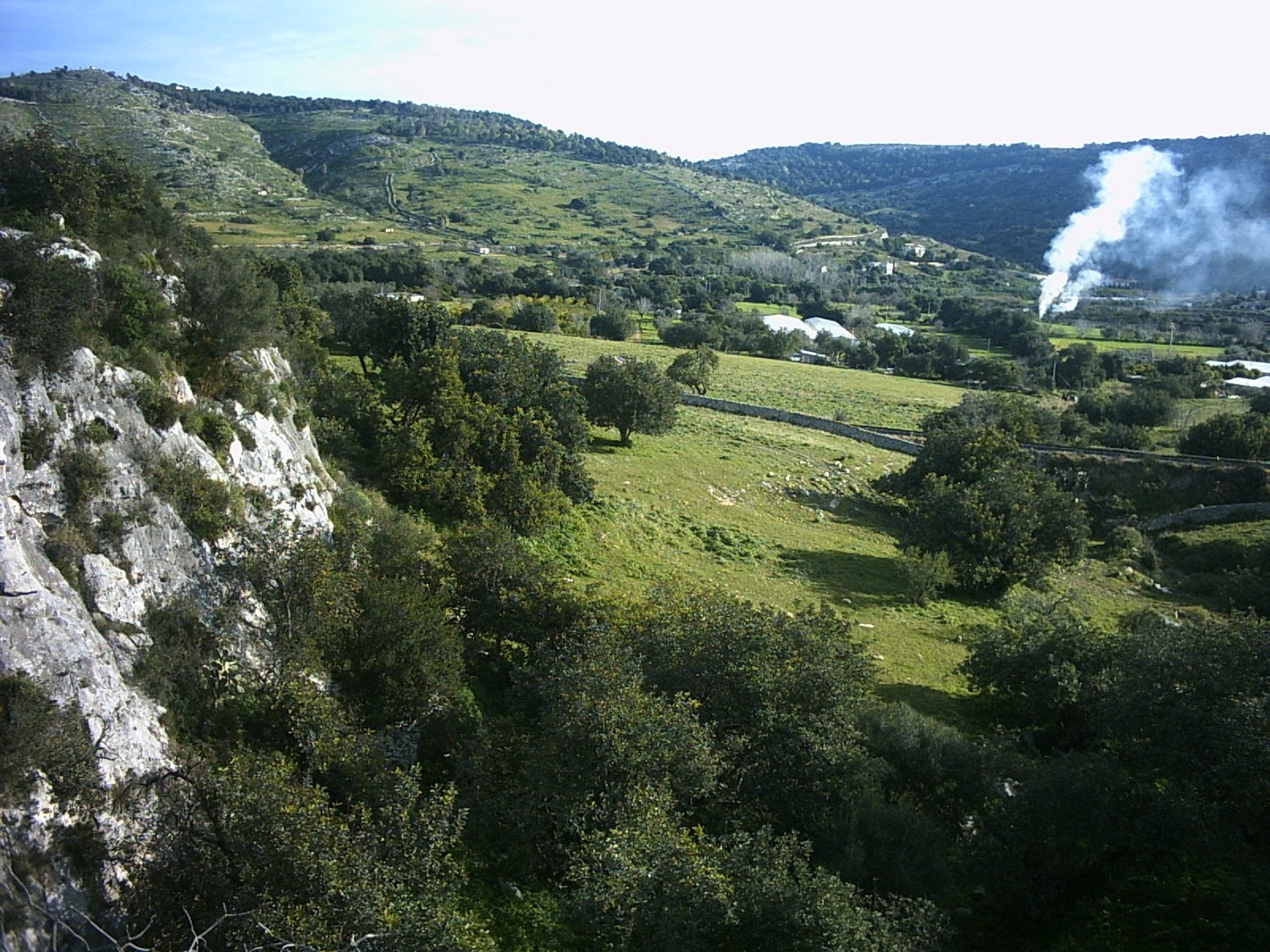
Itinerary of Cava S. Antonino: Ronna fridda
Hiking itinerary
- Departure: Scicli
- Trekking time: 3 h (including stops)
- Difficulty: medium-low, suitable for children and adults
- Length: about 3.6 km
- Max altitude: 13 m; Minimum altitude: 0m; Difference in altitude: 13 m
THE COURSE
The Sant’Antonino area falls within the territory of Scicli (RG) and is about 2.8 km from the town. The quarry was dug by the ancient Mothycanus river, now reduced to a torrential watercourse with a length of about 1414 meters. The route is short, but the archaeological and anthropological contents are really important. In the area there are traces of frequentation as early as the Bronze Age, but the most substantial settlement dates back to between the 4th and 7th centuries AD, reusing earlier tombs. The site has five epochs of attendance, namely: Middle Bronze Age, Greek Age, Late Ancient Age, Early Medieval Age and finally Modern Age, witness of which is a farm. In the Sant’Antonino quarry there is also C.da Biddiemi, to the south, with other archaeological remains. In the narrow valley of the Cava di Sant’Antonino, on the right side, is the cave known by the toponym of “Ronna fridda”, an artificially enlarged cavity to improve the uptake of water from the internal source from inside the limestone hill. Therefore, the excursion will give the opportunity to appreciate ancient hypogea, sub-star tombs, ancient millstones carved in the rock and an ancient rock church, geological-geomorphological assets of the territory, as well as the landscape of the Fiumelato valley that runs along the baroque city of Scicli.
USEFUL INFORMATION AND CONTACTS
Equipment: Clothing suitable for the season: boots, jacket or windbreaker, hat, a backpack with water, trekking shoes and comfortable clothes, a torch and a camera;
Useful advice: it is advisable to leave one or more cars at the beginning and at the end, so as not to have to walk back to the starting point at the end.
LOGISTICS INFO OF THE ITINERARY:
- Nuccio Pisana cell.: +39 334.226 6249;
- Pietro Cavallo cell.: +39 366.132 1345
HOW TO GET:
Starting from Scicli, take the road that leads to Modica, the S.P. n. 38 Bethlehem – Piano Ceci, crossing the crossroads for Contrada Palazzola, Contrada San Biagio and Contrada Castelluccio (River Irminio), continue along the provincial road for another 1.1 km, up to a curve on the right take a dirt road where you can park. Continue on foot for about 650 m along the path, to reach the archaeological area from the north side.


